Chanderkhani Pass Trek: Complete Backpacking Guide from Manali
-

- February 23rd, 2026
- 1,693 views

Get a free topical map and start building content authority today.
The Chanderkhani Pass is a popular high-altitude trek near Manali that links the Kullu and Solang Valleys. This guide covers route options, logistics, weather, required permits, recommended gear, safety considerations and a sample itinerary for backpackers planning the Manali to Chanderkhani Pass trek.
- Location: Near Manali, Himachal Pradesh, India
- Typical trek length: 1–3 days depending on route and pace
- Altitude: Pass around 3,500–3,800 m (varies by approach)
- Difficulty: Moderate; snow and weather can increase difficulty
- Best time: May–June and September–October for stable conditions
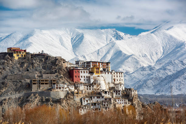
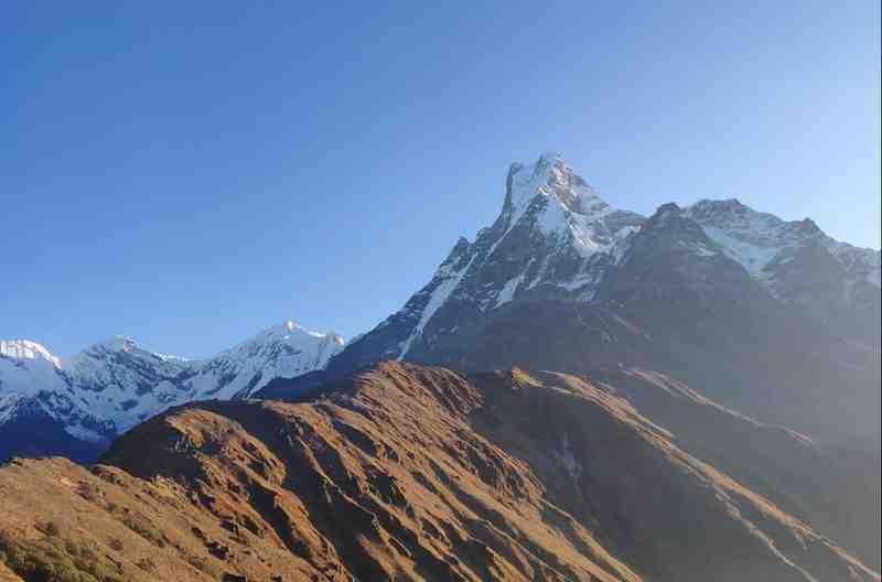
Chanderkhani Pass: Overview
The Chanderkhani Pass offers panoramic views of Pir Panjal and Dhauladhar ranges and connects the Hampta, Jogini, and Solang valleys. The trail is used by trekkers, shepherds and local pilgrims; sections can be steep and rocky, and snow may cover higher reaches outside the summer window. Familiarity with basic map reading, navigation and high-altitude precautions improves safety on the route.
Route options and difficulty
Classic Manali to Chanderkhani route
The most common approach starts from Manali or nearby Solang Nallah, ascending through forested slopes and alpine meadows. Typical ascent points include the Hadimba Temple area or the Solang grazing grounds, depending on the chosen starting location. The pass itself involves loose scree and steep ramps; care is needed on descent.
Alternative approaches
Some itineraries combine Chanderkhani Pass with nearby treks such as the Hampta Pass or Jogini Falls day treks. Multi-day loops may use local villages for overnight stays, reducing the need to carry heavy camping loads.
Getting there and local logistics
Manali serves as the main access hub. Public buses and shared taxis connect Manali to nearby towns; private vehicles can reach trailheads closer to Solang. Plan transportation that accounts for early starts and possible road delays during peak season. Accommodation in Manali ranges from budget guesthouses to higher-end hotels; arranging a local porter or guide is common for unfamiliar trekkers.
Permits, regulations and official guidance
Permits for trekking in Himachal Pradesh may be required in some zones; local police or forest checkposts commonly record visitor information. For authoritative regional guidance, consult the Himachal Pradesh tourism department and local district authorities before departure. For general mountaineering standards and training resources, the Indian Mountaineering Foundation offers guidelines on high-altitude safety and equipment.
Official tourism information: Himachal Pradesh Tourism
Weather, best time and seasonal considerations
Summer months (May–June) and early autumn (September–October) are the most reliable for trekking. Monsoon brings heavy rains and landslide risk in July–August, and winter months bring heavy snow that can close the pass and require mountaineering-grade equipment. Temperatures can drop quickly after sunset even in summer; layering and windproof clothing are essential.
Gear, packing and practical tips
Essential gear
- Sturdy trekking boots with good ankle support
- Windproof and waterproof outer layer
- Warm mid-layers and thermal base layers
- Sun protection: sunglasses, sunscreen and hat
- Navigation tools: map, compass and a charged phone or GPS device
- Water treatment (tablets or filter) and sufficient food/snacks
- First aid kit, including blister care and altitude-related remedies
Packing tips
Minimize pack weight for steep sections; distribute load for balance. Carry sufficient water and electrolytes—stream water may be available but should be treated. Keep crucial items like warm layers, rain protection, and emergency supplies easily accessible.
Safety, altitude and health considerations
Chanderkhani Pass reaches elevations where acute mountain sickness (AMS) is possible. Allow time for gradual ascent and monitor for symptoms such as headache, nausea or dizziness. Descend immediately if severe symptoms occur. Inform local authorities or the nearest medical facility in Manali about serious health concerns. Training in basic wilderness first aid and travel insurance that includes high-altitude evacuation are recommended for organized groups and solo trekkers.
Environmental and cultural considerations
Respect local customs and the fragile mountain environment. Follow Leave No Trace principles: carry out all non-biodegradable waste, avoid disturbing livestock and grazing patterns, and stay on existing trails to minimize erosion. Many villages along the route practice traditional livelihoods; ask permission before photographing people or private property.
Sample 2-day itinerary
Day 1: Manali to Camp
Early departure from Manali. Trek 6–10 km depending on the chosen trailhead, gaining altitude gradually and camping near alpine meadows. Allow time for acclimatization and an easy evening.
Day 2: Summit pass and return
Early start to cross the pass, enjoying summit views and photographs. Descend to the nearest village or back to Manali, depending on time and trail conditions. Plan for a flexible return in case of weather or trail delays.
Longer itineraries
Extend the trek by combining nearby trails or adding rest days for better acclimatization and exploration of local villages.
Frequently asked questions
What is the best time to trek to Chanderkhani Pass?
The most reliable windows are May–June and September–October, when weather tends to be stable and snow is limited. Monsoon months increase landslide and trail-washout risk, and winter months bring heavy snow that can make the pass impassable without mountaineering experience.
How difficult is the Chanderkhani Pass trek for a beginner?
For a physically fit beginner with proper gear and an acclimatized schedule, the route can be moderate. Steep sections, loose scree and potential snow patches increase technical demand. Hiring a local guide or joining a small group improves route-finding and safety.
Are guides or permits required for the Chanderkhani Pass trek?
Guides are not strictly mandatory on many sections, but local guides provide value for navigation and local knowledge. Permit requirements vary by district and season; check with the Himachal Pradesh tourism department and local police stations for current rules and trail advisories.
How long does the trek take from Manali?
Typical itineraries range from 1–3 days depending on the starting point, pace, and whether the trek is combined with nearby routes. Plan conservatively to allow for weather and acclimatization.
Can the Chanderkhani Pass route be done in winter?
Winter crossings generally require technical snow travel skills, avalanche awareness, and specialized equipment such as crampons and ice axes. Most recreational trekkers avoid the pass in winter unless accompanied by experienced mountaineers or guides equipped for snow conditions.