Kuari Pass Trek Guide — History, Route, Seasons and Lord Curzon’s Trail
-
- February 23rd, 2026
- 1,494 views
Introduction
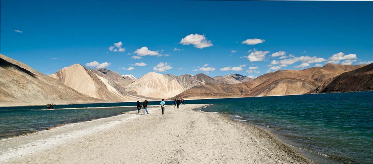
The Kuari Pass trek is a classic trek in the Garhwal Himalaya that combines accessible alpine scenery with historical interest. Known for sweeping views of peaks such as Nanda Devi and Chaukhamba, the route also figures in accounts of early colonial-era travel in the region and is often described in connection with Lord Curzon's visits to the Garhwal hills in the early 20th century.
- Location: Garhwal Himalaya, Uttarakhand, India
- Typical duration: 5–7 days (round trip from Chopta or Joshimath approach)
- Highest point: Kuari Pass area (approx. 3,600–3,800 m)
- Best season: May–June and September–October
- Key attractions: Alpine meadows (bugyals), panoramic peak views, historic colonial-era routes
Kuari Pass trek: Historical context and Lord Curzon's association
The route now known as the Kuari Pass was visited and described by travelers during the late 19th and early 20th centuries, a period when British administrators and naturalists documented many Himalayan trails. Viceroy Lord Curzon toured parts of the Garhwal region during his tenure, and his journeys contributed to wider interest in hill travel and survey work. Contemporary historical accounts and survey records from that era help explain why the pass is sometimes linked to Curzon's name in regional narratives.
Colonial surveys and local use
During the British Raj, Survey of India teams and officers documented passes, valleys and trade routes. Many local shepherds, pilgrims and traders had used these high routes for generations; colonial-era exploration produced written records and maps that later popularized certain trails for recreational travel. References to these surveys are preserved in archives and academic accounts of Himalayan exploration.
Cultural and ecological significance
Kuari Pass and the surrounding bugyals (alpine meadows) remain important for local pastoralists and biodiversity. Meadows such as Gorson Bugyal and areas around Chopta support seasonal grazing and host a variety of high-altitude flora. The pass offers a viewpoint for studying glacial and mountain landscape processes in the Garhwal Himalaya.
Route overview and itinerary
Typical Kuari Pass trek itineraries start from the village of Chopta or from the town of Joshimath, moving through forested ridges to open meadows and then to the pass itself. The trek combines moderate trekking days with acclimatization-friendly profiles, making it accessible to fit beginners and experienced trekkers alike.
Common itinerary (5–7 days)
- Day 1: Drive to Chopta or Sari and short walk to stay at the trailhead
- Day 2: Trek to Gorson Bugyal (alpine meadow camping/tents)
- Day 3: Trek to Kuari Pass viewpoint; return to camp
- Day 4: Return trek to Chopta/Joshimath and drive out
Terrain and difficulty
Terrain ranges from rhododendron and conifer forests to high alpine meadows and rocky passes. Elevation gain is steady but not extreme on the most commonly used routes. Seasonal snow can increase difficulty and require appropriate equipment. Published assessments by trekking organizations and mountaineering institutes provide graded difficulty ratings.
Best time, weather and what to expect
Best windows for the Kuari Pass trek are late spring (May–June) and early autumn (September–October) when weather is most stable and visibility of high peaks is often optimal. Winter brings heavy snow and is suitable only for experienced parties with winter gear. Monsoon months (July–August) bring reduced visibility, leeches in lower forests and increased risk of landslides on access roads.
Flora, fauna and views
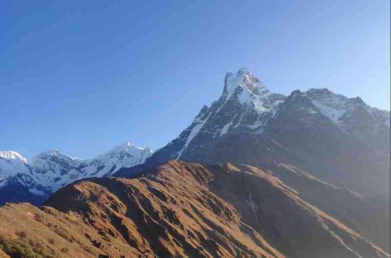
Spring brings alpine blooms and rhododendron forests; meadows are green and expansive in early summer. The pass provides clear views of peaks such as Nanda Devi, Dronagiri, and the Chaukhamba group on favorable days. Local birdlife includes high-altitude species typical of the Western Himalaya.
Permits, safety and official sources
Permits may be required by local forest authorities or the district administration for trekking and camping. The Indian Mountaineering Foundation and regional forest departments provide guidance on organized treks and permit requirements. For official travel advisories and tourism information for Uttarakhand, see the state tourism site: Uttarakhand Tourism.
Local regulations and guides
Local guides and licensed trekking agencies can assist with route planning, permits and logistics. The Uttarakhand Forest Department and district administrations regulate camping sites and resource use; checking current rules before travel is recommended.
Conservation and cultural considerations
Visitors are encouraged to respect local grazing practices, avoid disturbing wildlife, and follow Leave No Trace principles to reduce impact on fragile alpine meadows. Many trekking routes pass through or near villages where cultural sensitivity and permission for camping or grazing are important.
Research and archival sources
Historical interest in the Kuari Pass area is documented in colonial-era travelogues and modern academic studies of Himalayan exploration. Archival collections and publications by the Survey of India and the Archaeological Survey of India hold records relevant to historical routes and place names.
Planning checklist
- Confirm permits with district authorities or a licensed operator
- Check seasonal weather forecasts and trail conditions
- Hire a local guide if unfamiliar with high-altitude trekking
- Respect grazing schedules and local land use
- Carry appropriate clothing and navigation aids; consult official mountaineering resources for technical gear recommendations
Further reading and official resources
For administrative guidelines, maps and sanctioned trekking advisories consult the Survey of India, the Indian Mountaineering Foundation and state tourism portals. Academic journals on Himalayan geography provide more detailed historical context about early 20th-century travel in the Garhwal region.
Frequently asked questions
What is the best season for the Kuari Pass trek?
Late spring (May–June) and early autumn (September–October) are generally considered the best seasons for stable weather and clear mountain views. Monsoon months are wetter and winter brings heavy snow.
How difficult is the Kuari Pass trek?
The trek is often classified as moderate. Routes involve sustained walking at altitude with some steep sections, but technical climbing is not normally required on standard itineraries. Trail conditions and weather can change difficulty levels.
Are permits required for the Kuari Pass trek?
Permit requirements vary by season and campsite locations; local forest or district authorities may require permits for camping or trekking. Organized groups and licensed operators typically help secure necessary permissions.
How is the Kuari Pass trek connected to Lord Curzon?
Historical records note increased colonial-era travel and survey activity in the Garhwal Himalaya during Lord Curzon's period in office. Accounts of early 20th-century exploration and travel in the region led to the pass and nearby trails becoming more widely known, which is why some narratives associate the route with Lord Curzon's era.
Where to find official travel and safety information?
Official information on tourism, permits and local regulations is available from state tourism and forest departments as well as national mountaineering organizations. For Uttarakhand tourism updates, consult the state portal linked above.