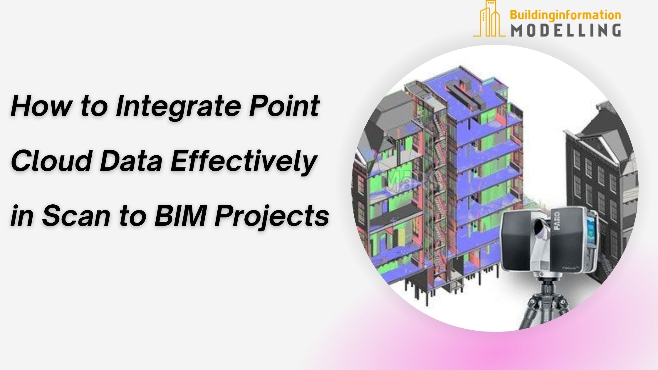
How to Integrate Point Cloud Data Effectively in Scan to BIM Projects

Strong 8k brings an ultra-HD IPTV experience to your living room and your pocket.
Integrating point cloud data into Scan to BIM Services requires a structured and methodical approach to achieve the best results. Point cloud data, generated through laser scanning, contains millions of data points that represent the exact dimensions and features of a physical space. However, the transformation of this raw data into functional 3D models demands careful planning and execution.
This guide provides actionable steps to seamlessly integrate point cloud data into Scan to BIM Modeling Services, helping engineers, builders, and BIM professionals create accurate digital representations for effective project management.
Step 1: Selecting the Right Equipment for Data Capture
Before starting any project, it is vital to choose suitable laser scanning equipment. Factors such as the project's scale, the level of detail required, and environmental conditions play a significant role in selecting the right tools.
High-quality laser scanners generate dense point cloud datasets, making them ideal for feeding into Laser Scan to BIM Services.
For larger sites, mobile or drone-based scanners may be more efficient, while stationary scanners work best for smaller, intricate spaces. Properly planned data capture sets the foundation for smooth integration into Scan to BIM Services.
Step 2: Pre-Processing the Point Cloud Data
Once the scan is complete, the raw point cloud data needs to be pre-processed. This involves:
Noise Reduction: Removing unnecessary data points that may have been captured due to environmental interference.
Data Alignment: Stitching multiple scans together to create a cohesive dataset.
Point Cloud Cleaning: Filtering out duplicates and irrelevant details to simplify the data.
Advanced software tools can streamline these tasks, reducing the complexity of managing large datasets. The cleaner the point cloud data, the easier it is to integrate into Building Information Modeling Services.
Step 3: Defining the Scope and Objectives
Clearly outline the goals of your project before converting point cloud data into a 3D model. Key considerations include:
Level of Detail (LOD): Specify how detailed the model should be, based on project requirements.
Areas of Focus: Identify specific sections of the scan that need to be prioritized, especially for retrofitting or renovation projects.
Model Output Requirements: Define the formats and platforms that the model will be compatible with.
This clarity prevents unnecessary delays and streamlines the workflow during the modeling phase of Scan to BIM Services.
Step 4: Importing Data into BIM Software
The processed point cloud data is imported into BIM platforms like Revit, Navisworks, or ArchiCAD. These platforms are compatible with most laser scanning outputs, such as .e57 or .rcp file formats.
While importing, ensure the dataset retains its scale and orientation. Errors at this stage can lead to alignment issues in the resulting models. Software tools designed for Laser Scan to BIM Services often provide settings to fine-tune these parameters for better results.
Step 5: Extracting Geometric Features
Point cloud data represents surfaces as millions of points, but for it to be functional, these points must be converted into recognizable geometric elements like walls, floors, and ceilings. This process involves:
Surface Recognition: Identifying flat planes or curved surfaces and assigning them to specific features.
Volume Creation: Connecting points to form 3D objects with defined boundaries.
Attribute Assignment: Adding material properties, dimensions, and other relevant metadata.
Advanced tools in Scan to BIM Modeling Services allow for automated feature extraction, saving significant time for engineers and designers.
Step 6: Validating the BIM Model
The success of Scan to BIM Services hinges on the accuracy and usability of the final model. After converting point cloud data into a BIM model, validation is essential to confirm its alignment with the original scan. This step involves:
Clash Detection: Identifying conflicts between modeled elements, especially in MEP systems.
Dimensional Checks: Comparing model dimensions against the original point cloud.
Stakeholder Review: Collaborating with engineers, architects, and other professionals to confirm usability.
Errors caught at this stage prevent costly modifications later in the project lifecycle.
Step 7: Refining and Finalizing the Model
Based on feedback from the validation phase, the model may require adjustments or refinements. These could include adding missing elements, correcting misaligned components, or enriching the model with additional data.
Once finalized, the model becomes a powerful tool for project planning, retrofitting, or facility management. Building Information Modeling Services use this model to provide insights and improve decision-making.
Step 8: Leveraging the Model for Project Goals
A well-integrated BIM model created through Laser Scan to BIM Services opens up various opportunities, including:
Accurate Quantity Takeoffs: Estimating material requirements with reduced wastage.
Efficient Scheduling: Streamlining timelines based on real-world conditions.
Improved Collaboration: Providing a shared platform for stakeholders to interact with.
Integrating point cloud data effectively into Scan to BIM Services requires careful attention to detail at every stage—from data capture to model validation. Following these structured steps ensures accurate, functional 3D models that meet project needs.
Trust Building Information Modelling to deliver reliable Scan to BIM Services tailored to your requirements, with expertise that supports complex projects from start to finish.
Note: IndiBlogHub features both user-submitted and editorial content. We do not verify third-party contributions. Read our Disclaimer and Privacy Policyfor details.


