AI-Powered Transportation and Infrastructure Planning for Chennai: A Practical Guide
-

- March 01st, 2026
- 350 views
Introduction
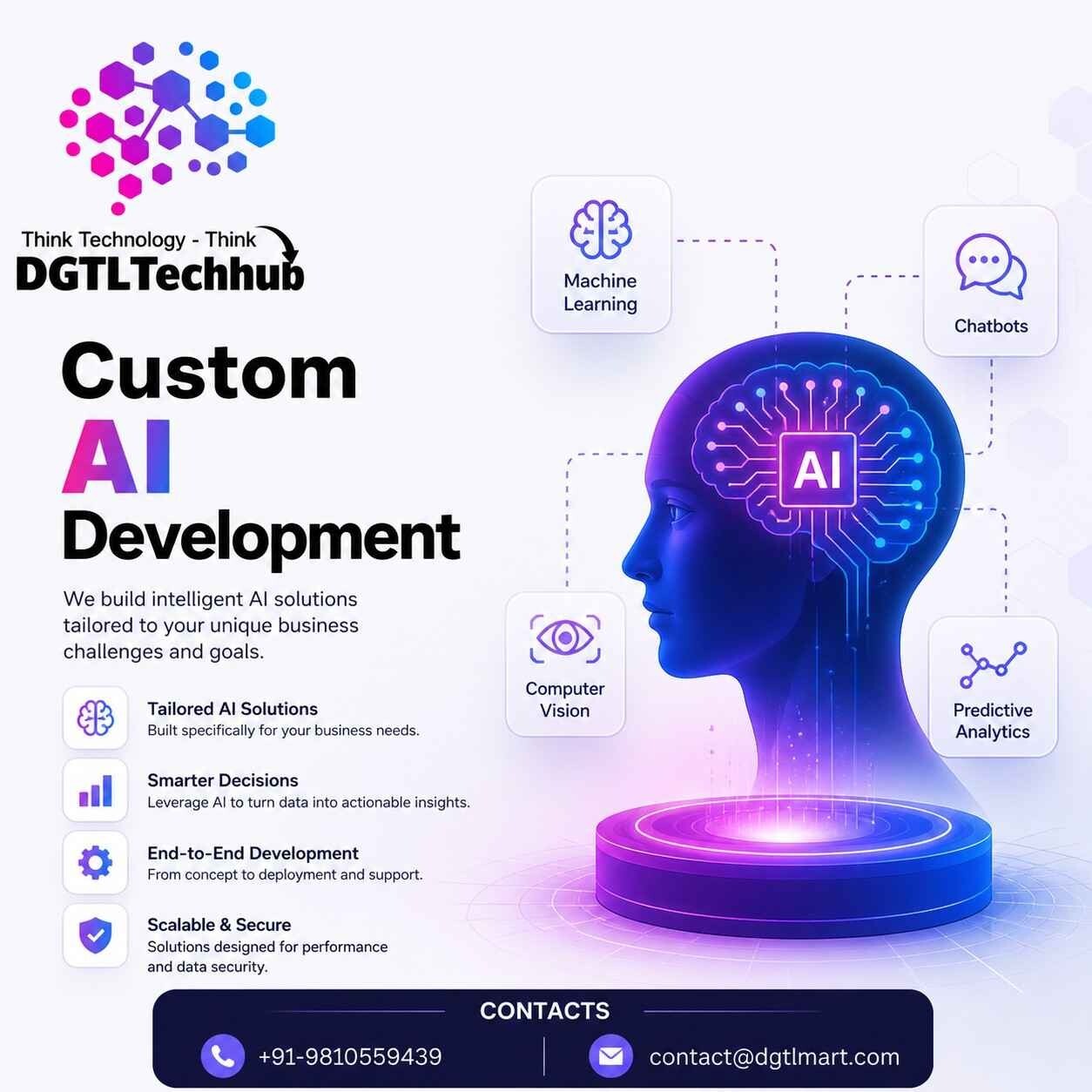
AI in transportation planning Chennai is reshaping how urban mobility problems are analyzed and solved. From predicting congestion on arterial corridors to scheduling buses more efficiently and prioritizing road repairs, machine learning, computer vision and digital twins enable targeted investments and faster operational decisions in a city with mixed traffic, coastal constraints and growing ridership demand.
- AI offers measurable ways to improve traffic prediction, public transit optimization and infrastructure maintenance in Chennai.
- Key components include sensors and imagery, data cleaning, GIS integration and predictive models captured in the SCIP framework.
- Practical deployment requires clear objectives, accessible data pipelines, pilot testing and attention to trade-offs like equity and data privacy.
Informational
AI in transportation planning Chennai: Key use cases
Traffic management and congestion prediction (traffic management AI Chennai)
Short-term traffic prediction models use telemetry from GPS-equipped buses, mobile probes and loop detectors combined with weather and event schedules to forecast volumes 15–60 minutes ahead. These predictions power adaptive signal control, route guidance and incident response. For Chennai’s mixed traffic and frequent junction delays, models that ingest video-based counts and roadworks schedules improve responsiveness compared with static timing plans.
Public transit scheduling and routing (public transit optimization Chennai)
AI can optimize bus schedules by learning ridership patterns by time of day and corridor. Clustering algorithms reveal latent demand pockets and feed mixed-integer optimization routines that balance frequency, vehicle allocation and headways. On high-demand corridors, predictive boarding models enable dynamic allocation of buses during peak hours to reduce wait times and crowding.
Infrastructure monitoring and predictive maintenance
Computer vision applied to drone or roadside imagery detects pavement distress, potholes and drainage blockages earlier than periodic manual surveys. Predictive maintenance models that combine sensor data with asset age and traffic loading prioritize budgets for repairs to maximize network uptime and minimize total lifecycle cost.
Road safety and enforcement
Automated analysis of crash hotspots using historical incident data, land use, and traffic flows helps planners design safer intersections and targeted enforcement. AI can also support speed compliance solutions by identifying high-risk times and vehicle classes for focused interventions.
Data, standards and model choices
Good outcomes depend on interoperable geospatial data (GIS), OpenStreetMap basemaps, telemetry from buses and taxis, CCTV feeds, and periodic surveys. Integration with planning standards and guidance helps scale pilots; for international best practices see World Bank: Transport for policy-level recommendations that align investments with social and economic objectives.
SCIP framework for project delivery
Introduce a repeatable checklist: the SCIP framework—Sensing, Cleaning, Integrating, Predicting.
- Sensing: Deploy or inventory sensors, cameras, GPS traces and open datasets.
- Cleaning: Establish ETL pipelines, handle missing data, and anonymize personally identifiable information.
- Integrating: Join data with GIS layers, transport schedules and asset registries to create a unified model view.
- Predicting: Select models (time-series, random forests, deep learning) and validate forecasts using holdout data and on-the-ground checks.
Real-world example: Bus priority on the Anna Salai corridor
Scenario: a city agency plans a bus-priority pilot on a 6 km stretch of Anna Salai to reduce peak bus delays. Data inputs include automatic passenger counters, GPS traces from 70 buses, CCTV-based lane-usage counts and traffic signal logs. Implementing the SCIP framework produces a digital twin of the corridor. Simulation experiments test signal timing changes and a dedicated bus lane during peak hours. The pilot phase emphasizes measurable KPIs: average bus door-to-door travel time, headway adherence and passenger load factors. The approach delivers evidence for scale-up decisions and a clear monitoring plan for operations.
Practical tips for Chennai planners and engineers
- Start with a high-impact, measurable pilot—pick a corridor with clear KPIs (travel time, wait time, incident reduction).
- Prioritize data quality: invest in simple ETL and validation checks before building complex models.
- Engage stakeholders early: bus operators, traffic police and local residents provide context that models cannot infer alone.
- Design models for explainability: use interpretable features or model-agnostic explainers to support operational buy-in.
Trade-offs and common mistakes
Trade-offs to consider
Choices about model complexity, data collection intensity and rollout speed create trade-offs. Simpler statistical models often perform robustly with limited data and are easier for operations teams to trust. Deep learning models can extract patterns from imagery but require more labeled data and compute resources. Equity trade-offs matter: optimizing average travel time can worsen outcomes for peripheral neighborhoods unless fairness metrics are included.
Common mistakes
- Ignoring data governance—failure to anonymize or secure feeds risks legal and public trust issues.
- Overfitting models to small datasets—results that look excellent in-sample may fail in live operations.
- Skipping operational integration—decisions that do not connect to control systems, dispatch or procurement rarely produce lasting change.
Core cluster questions
- How can predictive models improve signal timing across mixed-traffic junctions?
- What data sources are most valuable for bus ridership forecasting in Chennai?
- How to prioritize road maintenance using AI-driven asset condition scores?
- Which privacy-preserving techniques should be applied to camera and mobile data?
- How to evaluate an AI pilot before scaling citywide?
FAQ
How can AI in transportation planning Chennai reduce congestion?
AI reduces congestion by improving short-term traffic forecasts that feed adaptive signal control and by optimizing transit schedules to shift demand into higher-capacity services. Successful implementations combine telemetry and on-the-ground validation to adjust control logic during peak windows and special events.
What are realistic data requirements for a pilot project?
Start with a minimum of several weeks of GPS traces from public vehicles, timestamped ridership or boarding counts, and at least one video or image source for volume estimation. Quality and coverage matter more than sheer volume; a consistent, labeled dataset enables reliable model validation.
Which stakeholders should be involved from the start?
Include transport planning officials, transit operators, traffic police, local municipal engineers, and community representatives. Technical partners for data engineering and operations support complete the team. Early engagement reduces operational friction and aligns KPIs with city objectives.
What measures ensure equity and privacy in AI projects?
Apply data minimization, anonymization and aggregation; test models for disparate impacts across neighborhoods; and define benefits so vulnerable groups are not disadvantaged. Public communication and transparent data use policies are essential to maintain trust.
How to scale a successful pilot across Chennai?
Document performance against KPIs, standardize the SCIP framework components, invest in cloud or on-premise operationalization pipelines, and create training materials for operational teams. Phased expansion, financed through performance-linked budgets, reduces technical and political risk.